Welcome to the Western Interconnection Data Analysis Project (WIDAP)
 This project used data from the US Environment Protection Agency's (EPA) Continuous Emissions Monitoring Systems (CEMS) database to present the emissions from power plants in the western United States. The data is delivered as a KML File that can viewed using Google Earth.
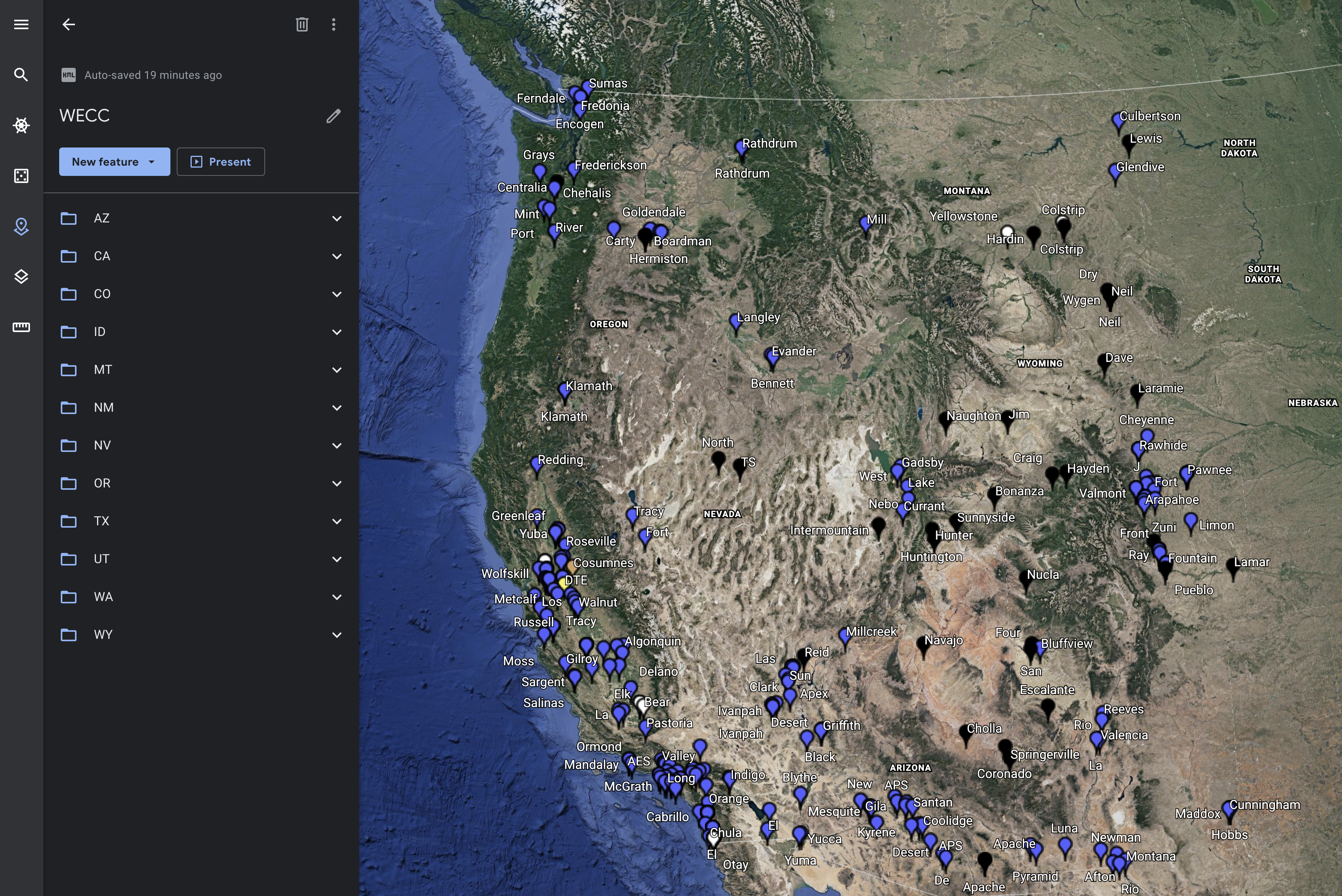
To load a KML file in Google Earth, click on the Project icon in the left pane. Then click on "New Project" and choose "Import KML file from computer". Choose the KML file and begin browsing the power plant emissions data by state or by plant.
This project used data from the US Environment Protection Agency's (EPA) Continuous Emissions Monitoring Systems (CEMS) database to present the emissions from power plants in the western United States. The data is delivered as a KML File that can viewed using Google Earth.
To load a KML file in Google Earth, click on the Project icon in the left pane. Then click on "New Project" and choose "Import KML file from computer". Choose the KML file and begin browsing the power plant emissions data by state or by plant.
State Data
Click on the state name to view state-level power plant operations data.
Plant Data
Click on the plant icon to view plant-level operations data.
Acknowledgments
This project was funded by Stanford University Bits & Watts Initiative and directed by Dian Gruenich (Stanford Precourt Institute) and David Chassin (SLAC National Accelerator Laboratory). Data analysis and code development was completed by Austin Park, Ben Lim, Balthazar Donon (Stanford University). Project advisors were Maury Galbraith (Western Interstate Energy Board) and Grace Anderson (California Energy Commission).
For more details, see WIDAP Overview.